Slide title
Write your caption hereButton
Summer Activities in Ludington
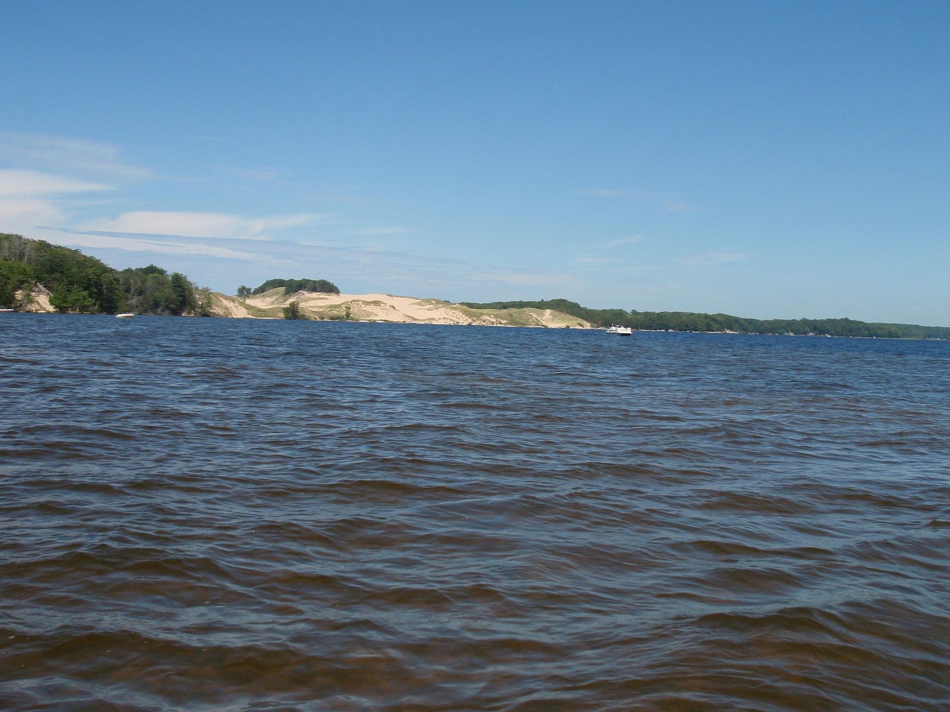
Ludington State Park
Bounded by Lake Michigan on the west and Hamlin on the east with Big Sable River running between it’s an ideal place for all kinds of water sports. Kayaks, canoes, tubes and paddle boats are available to rent at the concessions area on the Hamlin beach. On land there are 18 miles of trails through forest, marshes, dunes and along the river. The beach house has an interpretive center and concessions as well as space for events and live music. There’s also an outdoor amphitheater that hosts concerts and events. A dam over the Big Sable river attracts lots of leisure fishing activity and those that enjoy watching, and the river has boardwalks on either side for a scenic stroll along the water. There are plenty of park benches and picnic tables for relaxing with a book or enjoying your lunch outdoors.
Golf and Disc Golf
Ludington is home to three golf courses, Hemlock, Lincoln Hills, and Lakeside Links with more courses in the surrounding area. Ludington also has a good number of Disc Golf courses. and even a well-known annual tournament.
Beaches
Catch the rays of the sun at Ludington Beaches. The state park has sandy beaches both on Lake Michigan and Hamlin Lake. In town there is Stearns Park which includes the pier and the North Breakwater Lighthouse. Across the harbor is Buttersville Park, a little smaller and quieter place to relax. (Note Buttersville Park is dog-friendly so you may see a few K-9 friends).
Local History
Interested in local history? Visit Historic White Pine Village to see historical buildings and artifacts from Mason County past. Also learn of the maritime shipping and car ferry history at our Maritime Museum. If you want to take some local Ludington history home with you, visit the Book Mark or the Window Sill book stores.
Explore Ludington's Lighthouses
Hike or bike out to the Big Sable Lighthouse located in Ludington State Park. Visitors can climb the tower and explore the information center and gift shop. This is about a two mile hike. Several days during the summer months there are bus shuttles going out to the lighthouse. The North Breakwater Light is accessible from Stearns Park close to the downtown area.
Go Fishing!
On your own you can fish off the pier, or head to Pere Marquette River. There are also docks on Lincoln Lake in Cartier Park. Or take it up a notch and go charter fishing. Ludington has a number of captains with boats just waiting for your call! We suggest Captain Mark Williams and the Silver Addiction.
Take a Cruise
Maybe you’re looking for a nice cruise on the water. Be your own captain and rent a pontoon boat on Hamlin Lake. Or kayak or canoe on the Pere Marquette River. Or add Wisconsin to your vacation and take the 4-hour cruise across Lake Michigan to Manitowoc on the SS Badger.
Shop for Fresh Produce
Ludington is also orchard and farm country. Buy fresh produce right from the farm! Some of our favorite places to shop are The Jam Farm, Kistlercrest Farm, Couturier Blueberry Farm and Christoffersen Farms. Cherries, apples, peaches, berries and maple syrup are examples of the wonderful produce from the Ludington area.